NOAA- QR Code-enabled Feedback Survey
Generic Clearance for the Collection of Qualitative Feedback on Agency Service Delivery
QR.Code-enabled.Feedback Survey
NOAA - Quick Response (QR) Code Enabled Nautical Chart Feedback
OMB: 0690-0030

NOAA’s QR Code Enabled Charts
Testing a new concept
Quick Response codes (QR codes) are 2-dimensional bar codes. When you scan or read a QR code with an iPhone, Android or other camera-enabled Smartphone, you can automatically link to digital content on the Internet; activate a number of phone functions, or connect the mobile device to a Web browser1.
N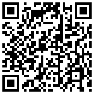 OAA
is evaluating QR codes as a way to enhance its static, printed paper
charts by linking them to real-time information. Each
Print-on-Demand NOAA nautical chart would have a QR code printed in
the margin. When scanned with a SmartPhone, the code opens a
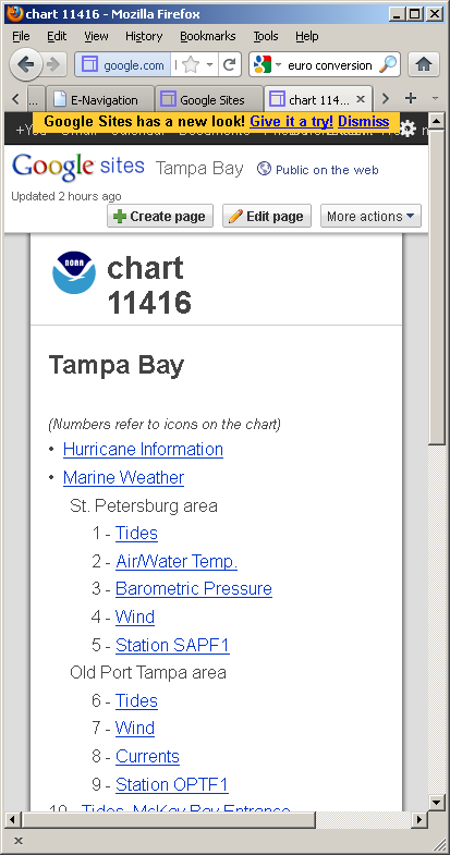
chart-specific Web page on the phone. This Web page contains a menu
of real-time and predictive data sites such as tides, currents, and
marine weather. Simply tapping on a menu item then causes the
selected data to be displayed.

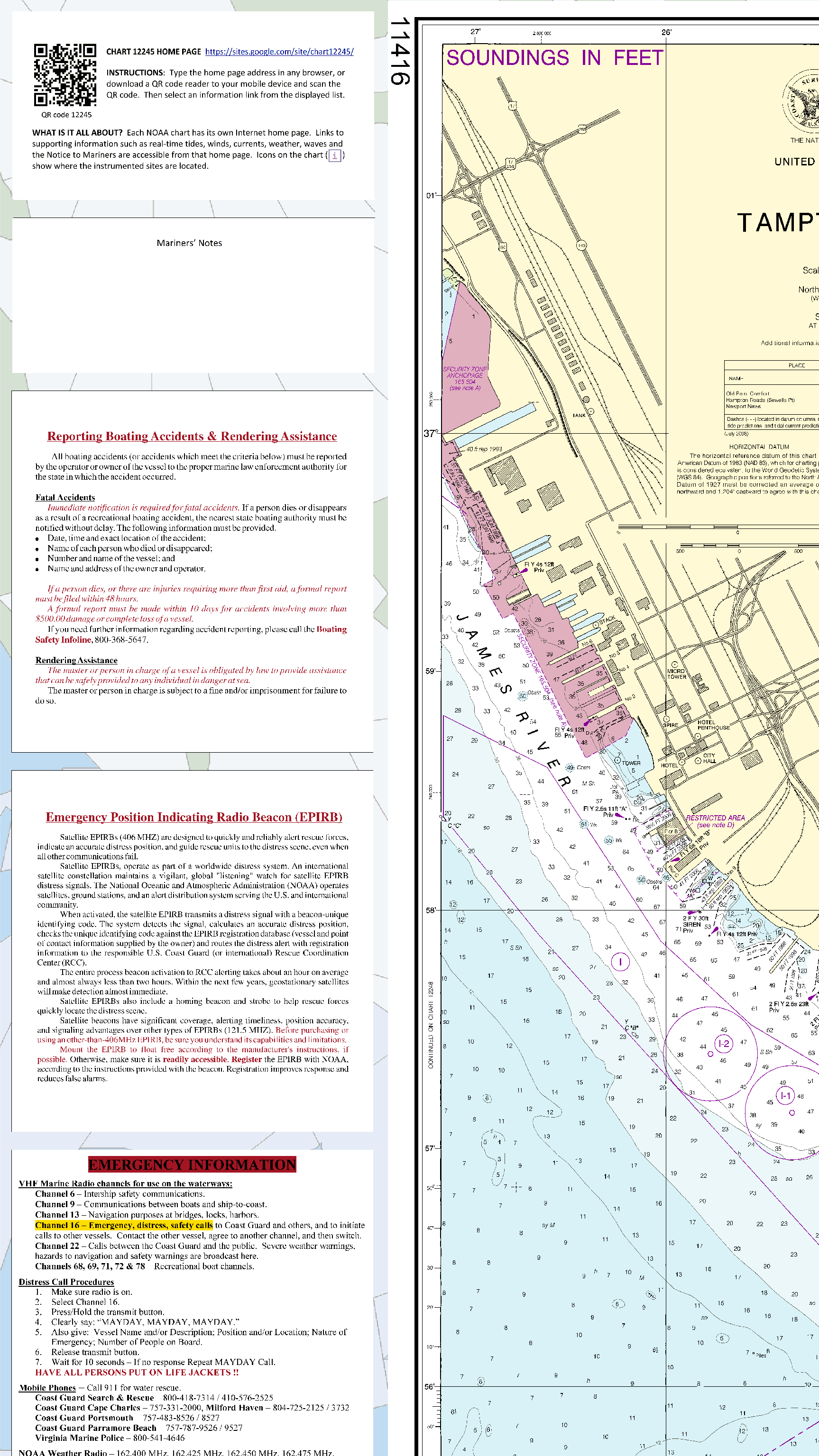
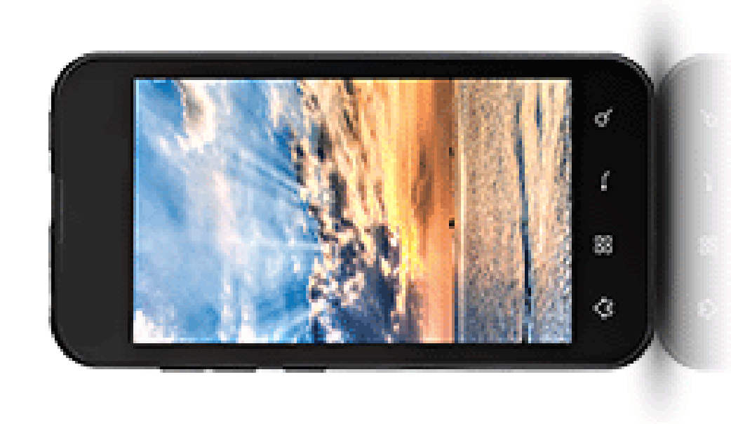
Scan QR code with
SmartPhone camera
SmartPhone APP
automatically goes to a URL encoded in QR code
Select a menu item from the
touch screen.

SmartPhone connects to
real-time data over the Internet.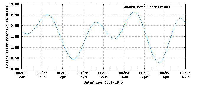
![]()
![]()

QR code enabled charts are being explored as a tool for recreational
boaters who do not have an electronic charting system or a computer
on board. It offers them: Access
to real-time navigation information using their mobile device of
choice – SmartPhones and tablet computers are becoming the
preferred means of Internet access and national charting
authorities like NOAA need to move with their users.
Convenience
by aggregating real-time information specific to a chart and
mariner’s location rather than having mariners go to thematic
sites (first tides, then weather, then currents, then waves…)
and search each for relevant information.
Access to the QR
sites would not be limited to SmartPhones and tablet computers. The
URL for each chart can be printed on the chart along with the QR
code. Mariners could then type the URL or make a desktop icon and
access the real-time information like any other Internet site. The QR code service
would be free from NOAA. Print-on-Demand charts containing the
codes would be available from NOAA’s partner OceanGrafix and
their retailers (OceanGrafix.com).
So, in addition to Print-on-Demand charts being updated for
Notices to Mariners each week, QR codes could be included thus
offering another advantage over traditional charts. NOAA’s
Experiment NOAA’s test
of QR codes uses 8 charts around Tampa Bay, Florida. With this
suite NOAA is evaluating the desirability, utility, and usability of
the QR Code real-time data service. In particular, NOAA is
evaluating: Usability of
the mobile interface, particularly at sea The mix of
information that should be provided Benefits to
mariners of the information
Utility of the
icons on the chart at the information stations
Appropriate
improvements
Mobile
connectivity in recreational boating areas The costs to
build and maintain a mobile information service Whether NOAA
should offer this as a service This information
will help NOAA evaluate how to best serve mariners in the emerging
mobile environment. Try the Service
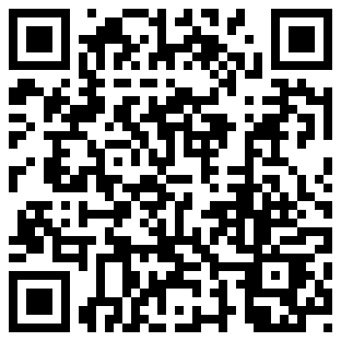
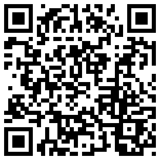
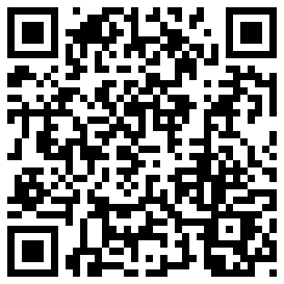
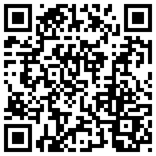
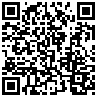
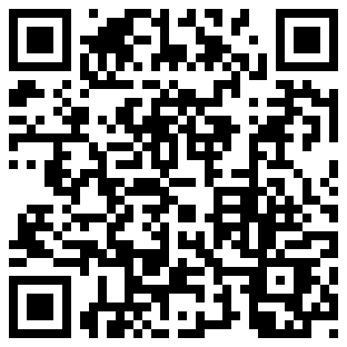
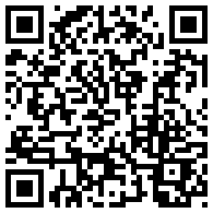
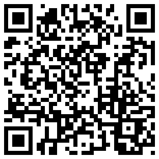
Yourself Scan the QR codes
at the right or buy one of the 8 QR-enabled PoD charts. You can
also type a URL in your Internet browser or click on a link at the
right. URL’s for the 8 test charts are of the form
http://nauticalcharts.noaa.gov/qr/QR_11425m.php.
Substitute the chart number you want in place of that in the
example. Explore the two formats of Chart
11416 and Chart
11424.
Collaborate with
NOAA in designing improved navigation services. Contribute your
comments on the evaluation topics to NOAA at QRcodeCharts@noaa.gov
or leave a voicemail at 888-990-NOAA (888-990-6622). John Lowell,
Captain (NOAA) Director, Office of
Coast Survey, NOAA
OMB Control No. 0690-0030 Expiration
Date: 04/30/2014

1 You may need to download a free QR code reader application (APP) to your SmartPhone first.
| File Type | application/msword |
| Author | dave.enabnit |
| Last Modified By | gbanks |
| File Modified | 2012-05-18 |
| File Created | 2012-05-18 |
© 2026 OMB.report | Privacy Policy