NMFS - Right Whale Sightings Advisory System
Generic Clearance for Citizen Science and Crowdsourcing Projects
Website with web-based app data entry form with instructions and outreach
NMFS - Right Whale Sightings Advisory System
OMB: 0648-0828
Website with web-based app data entry form with instructions and outreach

Instructions for our team to fill out the form:
Enter all reported sightings including duplicates if from another reporting source. Sightings from NARWSS flights are entered automatically during data processing with the Aerial Survey Processing App.
Sighting Date – date of the sighting (not report) in the format 01-May-2022
Category – enter the category of the observer
Shipboard is used only for dedicated right whale surveys. If the Shearwater is on a humpback cruise and has a right whale sighting, it would be Opportunistic.
Aerial is used only for dedicated right whale surveys (NLPSC or AMAPPS surveys should be Opportunistic, and it’s helpful to write a comment such as “AMAPPS”)
Coast Guard use only if they observed the sighting; not if they are passing it along.
Sighting Time – time format is military HH:MM:SS. Correct to Eastern Time. If the sighting time is unknown enter 12:00:00 and note time is unknown in comments.
Latitude and Longitude – can be entered as degrees minutes or decimal degrees (by leaving the minutes field blank); do not use a minus sign for longitude values.
Behavior – check appropriate boxes for behavior category (i.e., sag, mom/calf, etc.)
Species Certainty – enter certainty of species identification; unknown sightings will not show on the map
Definite
Sightings are considered 'Definite' from experienced sources, such as whale watch naturalists
and researchers (NMFS, CCS, NEAq,
SBNMS, Riverhead, Mass DMF, CCSN, & other stranding networks).
These sources do not require follow-up. For non-experienced sources
that require follow-up, ask non-leading questions to determine if the
sighting was a right whale. If a sighting is passed via the
Coast Guard, obtain the original reporting source if
possible and interview the observer directly. Consider
Definite if photos confirm species or if interview confirms they saw
at least two distinctive right whale field marks: white bumps on the
head, paddle-shaped flippers, absence of dorsal fin (if got a good
look at the back), or all dark fluke with smooth edges.
*Only definite sightings get displayed on WhaleMap*
Probable
Consider
the sighting ‘Probable’ if the observer’s
description includes only one distinctive right whale field mark,
e.g., white bumps on the head, paddle-shaped flippers, absence of
dorsal fin (if got a good look at the back), or all dark fluke with
smooth edges.
Unknown (do not display on Google map)
If there is no indication that the sighting was a right whale, take no management action. Enter the sighting in the database and make a note that the sighting was unconfirmed.
*Not Right Whale - If the sighting is NOT a right whale, enter into the database with Certainty unknown and Action none - unconfirmed/not Egs. Put any details of determination in the comments. (If someone calls to report a non-right whale sighting, then no need to enter it into the database; record only those instances where someone initially thought it was a right whale).
Group size – enter the minimum number of animals (i.e., if reported as “2-3”, enter “2”)
Observer/reporter – enter the name, platform, and organization of the observer (and reporter if applicable – i.e., only if someone other than the person who saw the whale is the one calling the hotline) from the drop down list. If it is not listed, choose “Other” and write the information in the “Comments” field; try to get accurate spelling. Make a note in the comments if you need to explain a convoluted chain of reporting. All sightings that come through the Whale Alert App should have “whale alert” selected as the reporter organization.
Observer = the folks who actually saw the whale
Reporter = the folks who relayed the sighting from the observer to the SAS hotline
Action – select the management action taken from the drop down list. If you are not sure, you can always edit your selection later. For example, you may not be sure if a group of whales falls within an existing management zone and initially select “None, within existing protection zone” but then later realize that it triggers a DMA and correct it to “Dynamic Management Area”
1 |
None, only 1 or 2 animals |
2 |
None, within existing protection zone |
3 |
None, duplicate |
4
|
Dynamic Management Area (DMA) ***use for all sightings used in DMA calculation*** |
5 |
DMA Extended |
6 |
None – Canada (east of -67°00’ W) |
7 |
None - unconfirmed/not right whales |
8 |
USCG BNM local |
9 |
USCG BNM NEFSC |
11 |
Dynamic Management Area Not Implemented (if we had 3 whales but did not implement a DMA for any reason such as sighting being reported more than a week late). Add explanation in comments. |
Notes – Include the names and contact information of the observer and/or reporter if not on the drop down list; include any other details. Do not use any single quotes (‘) in the Comments field. Be sure to click in another table cell besides the Comment field so your notes will be recorded into the database.
Once all information is correctly entered, click the “Submit” button.
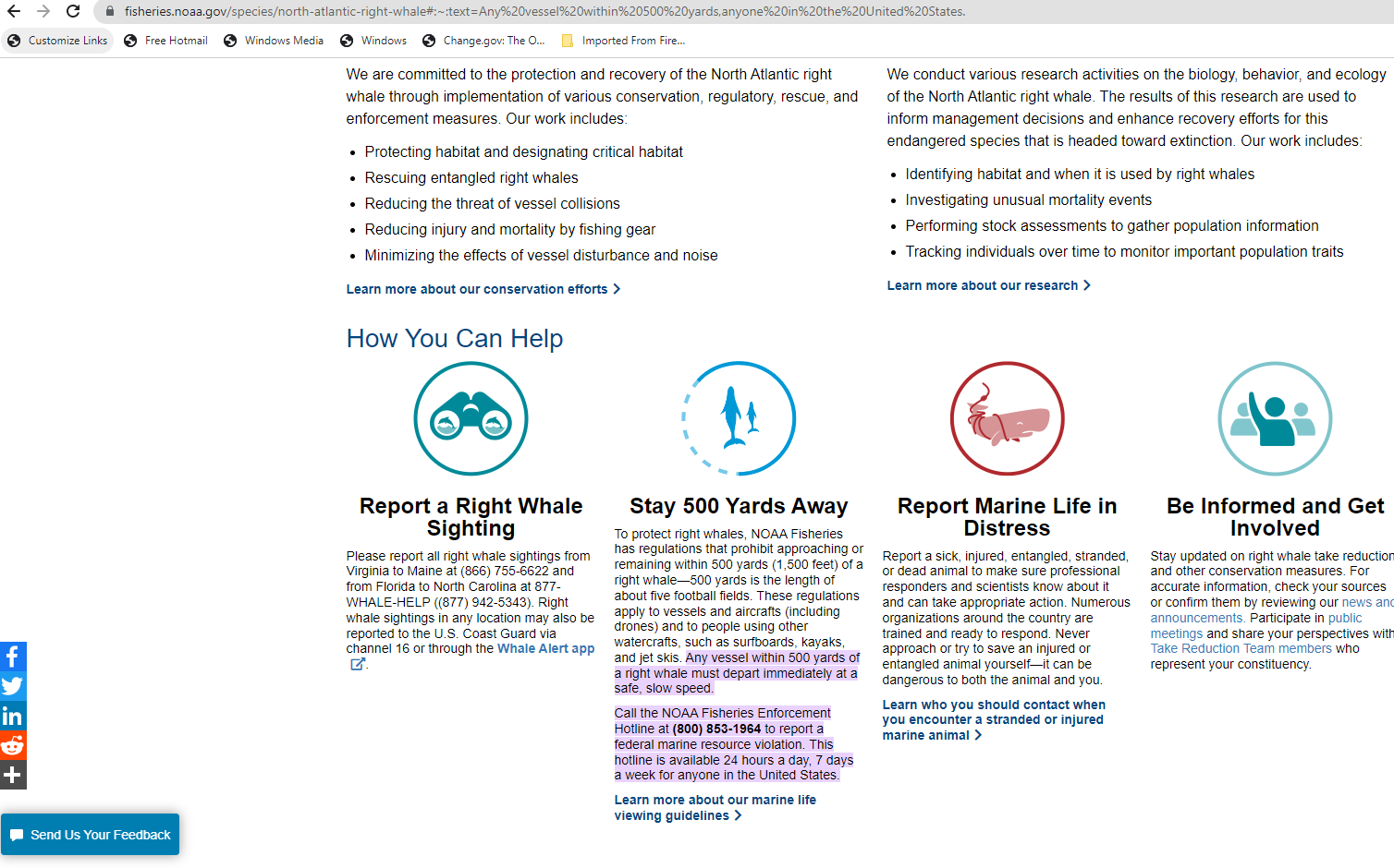
This is our website outreach:

| File Type | application/vnd.openxmlformats-officedocument.wordprocessingml.document |
| Author | Joe.I.Terry |
| File Modified | 0000-00-00 |
| File Created | 2023-08-19 |
© 2026 OMB.report | Privacy Policy